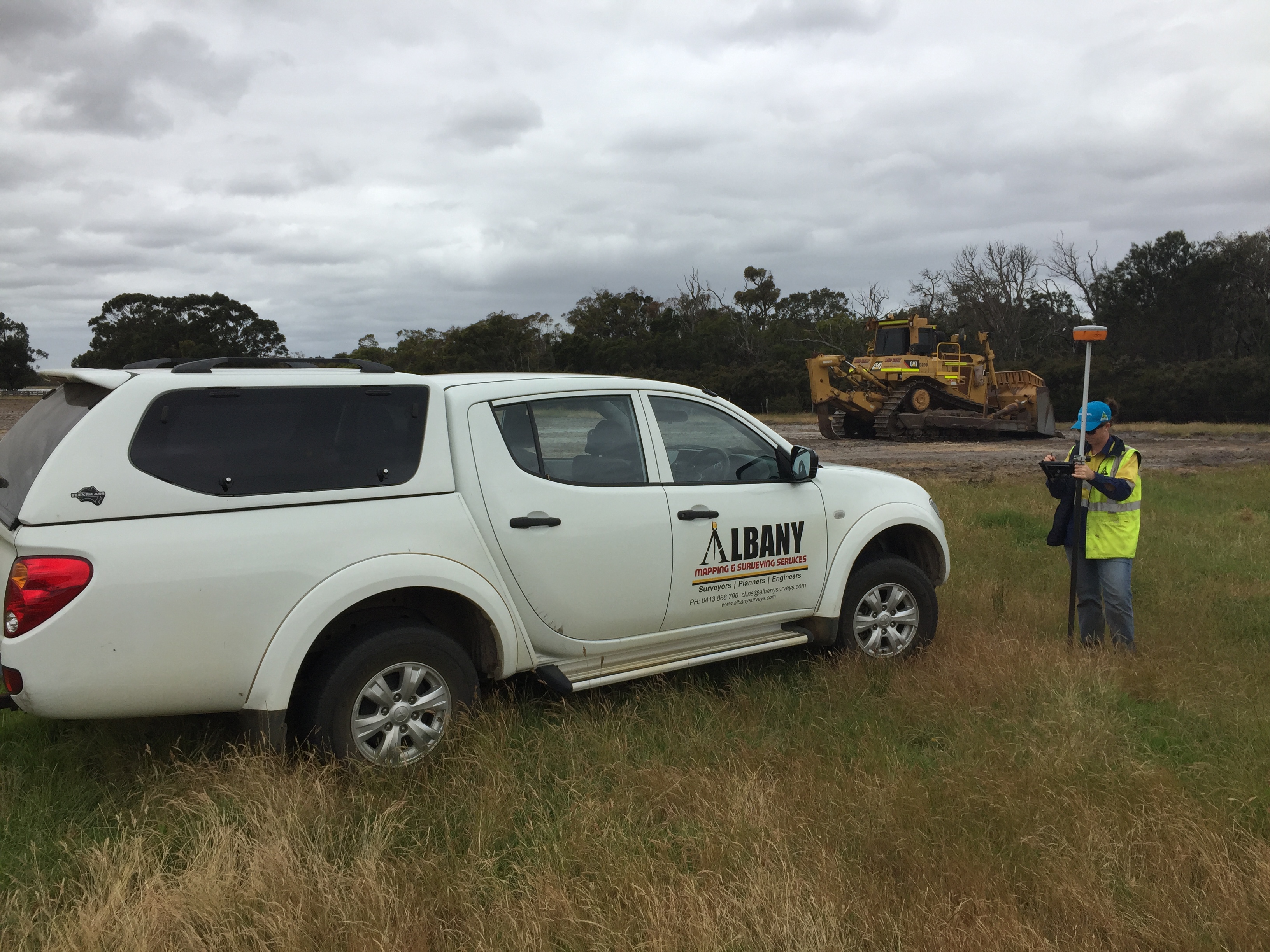
- Contour and Feature Surveys,
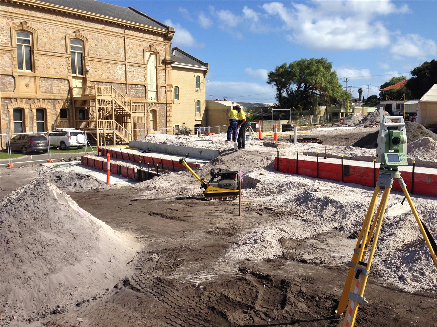
- Construction and Building Services,
- Subdivisions both Rural and Urban,
- Boundary Re-Establishment,
- Large scale land use or urban developments,
- GIS data collection and Mapping,
- Road Works, Set-out and Design,
- Sewer & Drainage Mapping & Inspection,
- Volume Surveys,
- Mining and Extractive License Surveys,
- Mining Tenement Surveys,
- Town Planning,
- Strata Scheme Developments,
- Boundary Disputes,
- Hydrographic Surveys,
- UAV Aerial Mapping,
- 3D Colour Laser Scanning and High Resolution Point Cloud Generation,
- 3D Modelling, Fly throughs, Concept plans and Visualisations
- Civil Design, Engineering and Drafting
- Architectual Drafting (house plans and commercial alterations)


