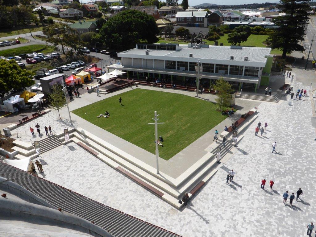
As part of the Centennial of ANZAC commemorations and CBD Landscaping Improvement works, Albany Mapping & Surveying Services were engaged from start to finish providing the associated surveying services. The project included a re-design of the road layout, creation of a tiered & paved Town Square, new car parking, demolition & installation of new street lighting and electrical infrastructure, drainage re-design & installation, re-levelling and new paving.
Services Provided:
Contour & Feature Survey, Plans & Digital data, Service Locating & Pot-holing (Whole of York Street & Stirling Terrace 1.5km, More than 15,000 data points collected)
A-Spec / D-Spec GIS Drainage investigation & mapping of the complete CBD Drainage network (~1500 drainage pits).
Construction Set-Out (Retaining Walls, Roads, Kerbs, Car Parking, Hydraulic & Electrical etc.)
As-Constructed Surveys, GIS data, Digital Data & Plans