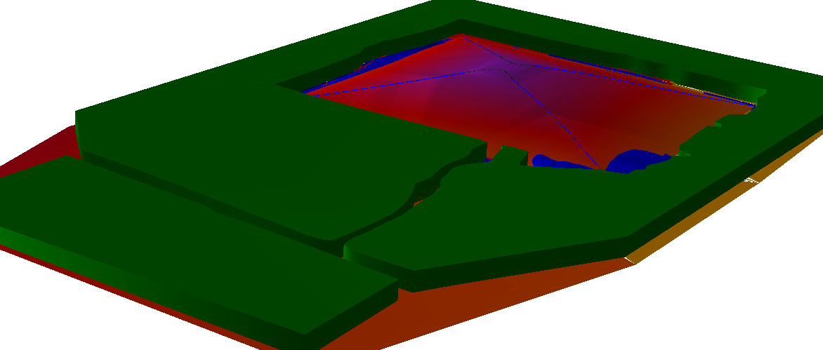
Geographic Information Systems (GIS)
Get all the data at your fingertips and really make it work for you.If your organisation is already using a GIS you know just how affective it can be at managing a diverse and extensive range of data sets. Our experienced team use GIS on a daily basis and ALL our survey data and designs can be supplied to suite your GIS system.
Just as important as having the spatial data is having the enriched data behind it which is accurate and up to date. We typically supply GIS data in A-Spec format (D-Spec, O-Spec, R-Spec, S-Spec etc.), but are happy to tailor it to your existing system. Our field controllers are fully intergrated with GIS and can interogate and update your information in the field at the time of survey returning it to you completed in one simple step.
Our Aerial team can also provide enhanced data sets including high resolution Aerial Photos, (GEOTIFFs etc.) DEMs and 3D reality models fully intergrated with your existing data.