About Our Team
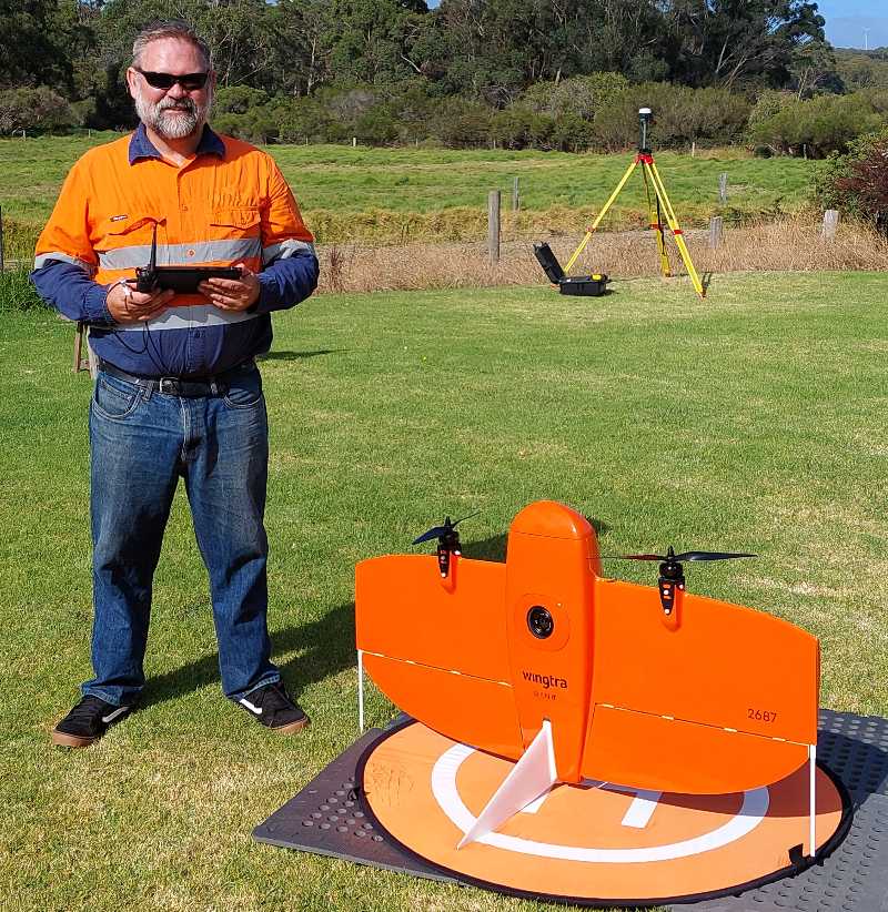
Tim Maw
Owner and Surveyor
Tim has been in the survey industry since 1994 and has gained experience in all types of surveying including Mining, Engineering and hydrographic
surveying.
Tim holds a Bachelor of Surveying Degree from the University of Otago, Dunedin, New Zealand, and a Graduate Certificate in Geographic Information Science from Curtin University.
He also has an Authorised Mine Surveyor’s Certificate of Competency Grade 2 (WA), and is the CASA certified Chief Pilot for AMSS ReOC.

John Jamieson
Assicate / Licensed Surveyor
Since 1965 John A Jamieson has been continuously employed or run surveying businesses to undertake projects throughout Western Australia, interstate and overseas as a professional surveyor executing a wide range of land, mining, engineering, hydrographic and geodetic surveying projects for State, Federal and Local Governments. John is Licensed Surveyor, Town Planner and Grade 1 Authorised Mine Surveyor.
Over the years John as been part of many landmark projects including surveying works on the National Highway 1 Project in the Pilbara and Kimberley regions, project Surveyor on the Palm Valley-Darwin Gas Pipeline project, senior hydrographic surveyor/project manager on large hydrographic construction project in Australia, Scotland, Europe, the Middle East and Africa and surveying & geodetic survey work to map the Barrier Reef off Queensland between Magnetic Island off Townsville and Green Island off Cairns.
John moved to the Great Southern region in 1989 and has run a successful surveying business since. Founding Albany Mapping & Surveying Services in 2000 John has serviced a wide variety of clients on projects including subdivision, building and construction, road works, Town Planning and mapping.
John resides on a small farm in Bornholm and is passionate about providing a service that is professional, practical and caters to all members of the community. He is a life member of the Denmark Environment Centre Inc., a member of the Royal Institute of Navigation in the UK, an early member of the Hydrographic Society in the UK and Australia, a Foundation Member of the Western Australian Institution of Surveyors, a Foundation Member of the Spatial Sciences Institute in Australia and W.A. and was awarded Life Membership of the Mapping Sciences Institute, Australia early in 2015.
John also hold a Permaculture Design Certificate and has been establishing his small farm using permaculture practices applied to rural and agricultural land.