Asset Inspection
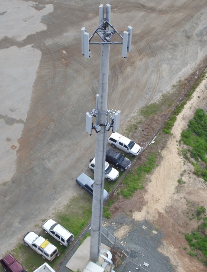
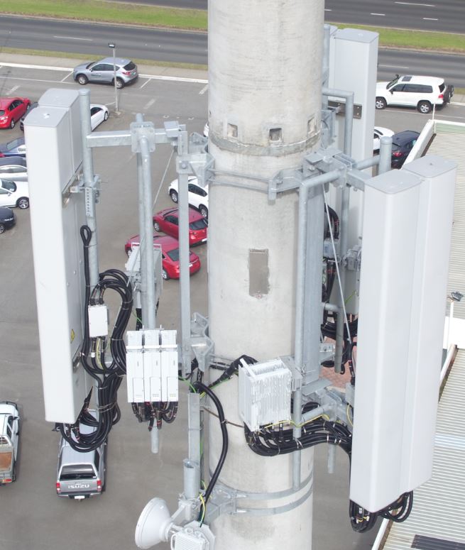
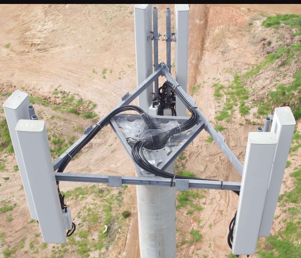
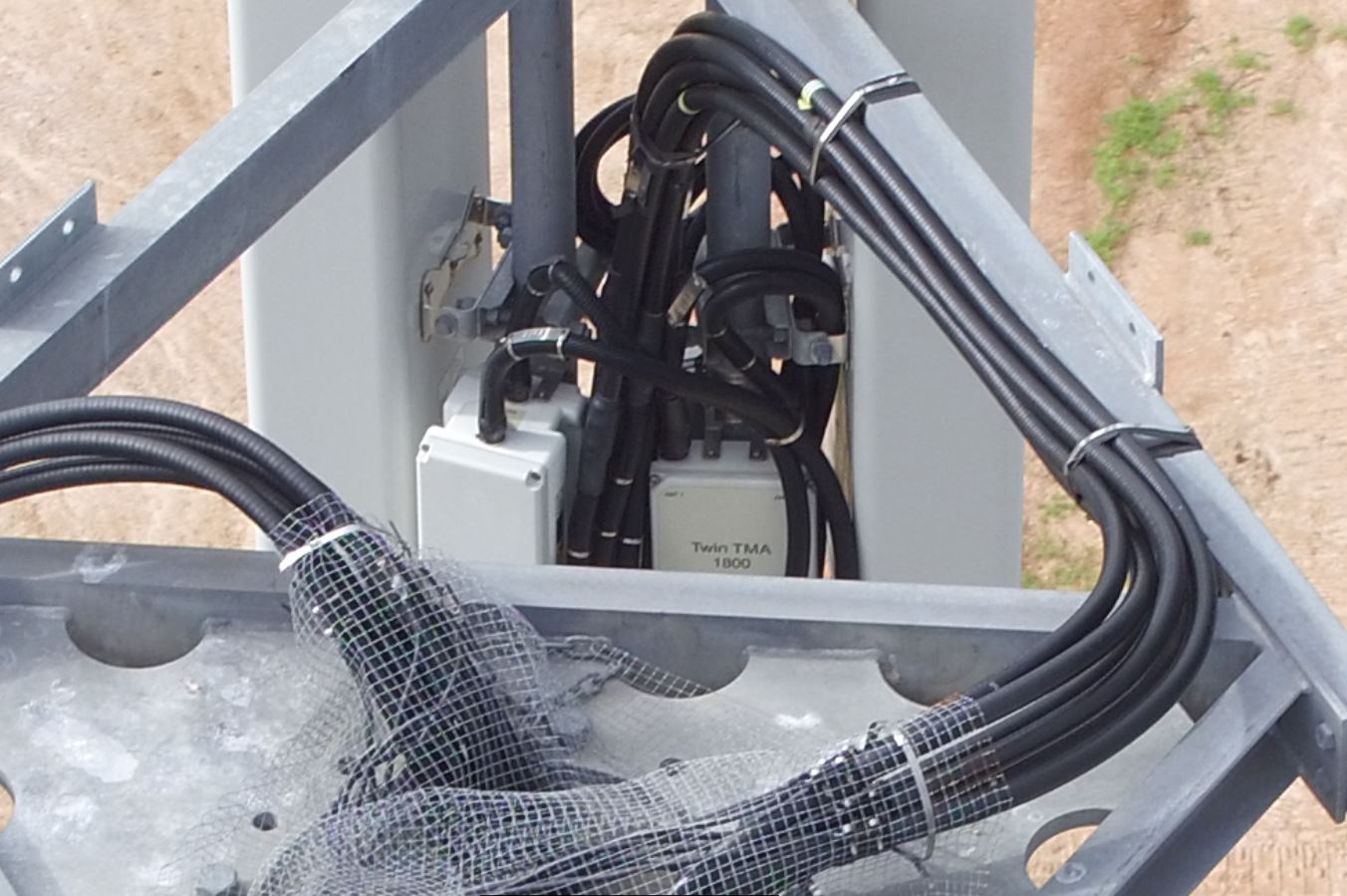
Inspection is an essential part of asset managment. Many assests are elevated and difficult to access. To inspect it may require climbing, rigging, scaffolding or helicopter. All these options are expensive, time consuming and put people in high risk situations. By using an Unmanned Aerial Vehicle (UAV or Drone) with a high resolution camera to capture detailed, high resolution 4K Video and crisp still images of a whole structure can significantly reduce the time and cost to inspect an asset.
Albany Mapping & Surveying Services can also process the videos and still images to create a high resolution, photo realistic, 3D scale interactive online models. Using the model you may rotate and zoom in on any angle, take precise measurements and interogate the elevation or coordinates of any feature (AHD elevations, GDA94/MGA coordinates or as required).
Please take the time to inspect the below 3D model created from high resolution still inspection images. Contact Us for more informaiton.