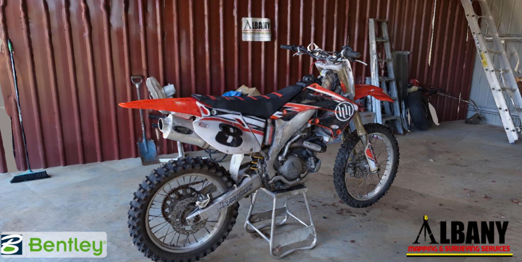
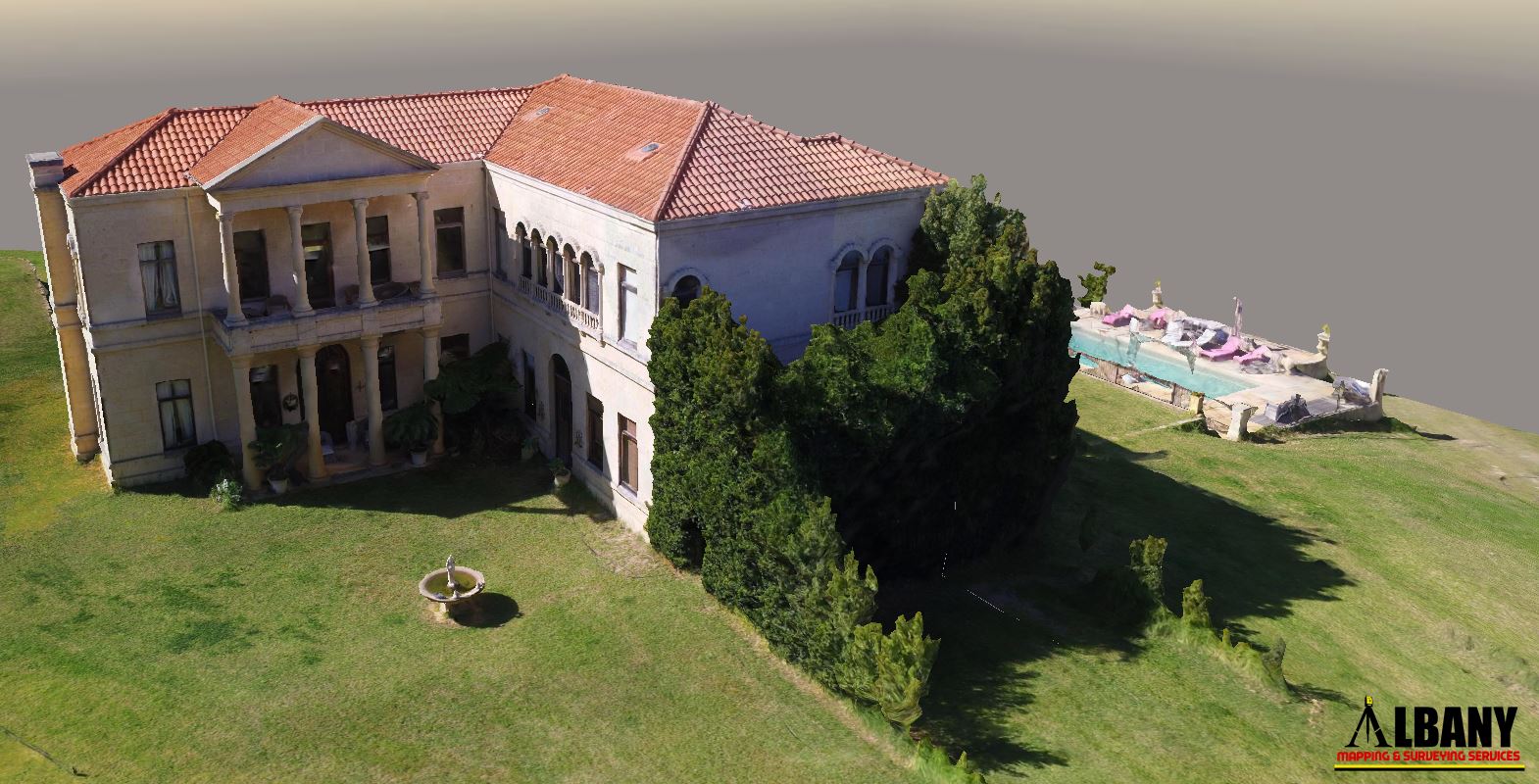
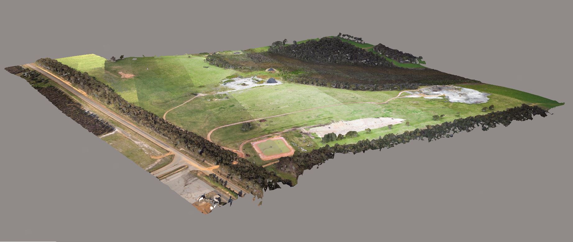
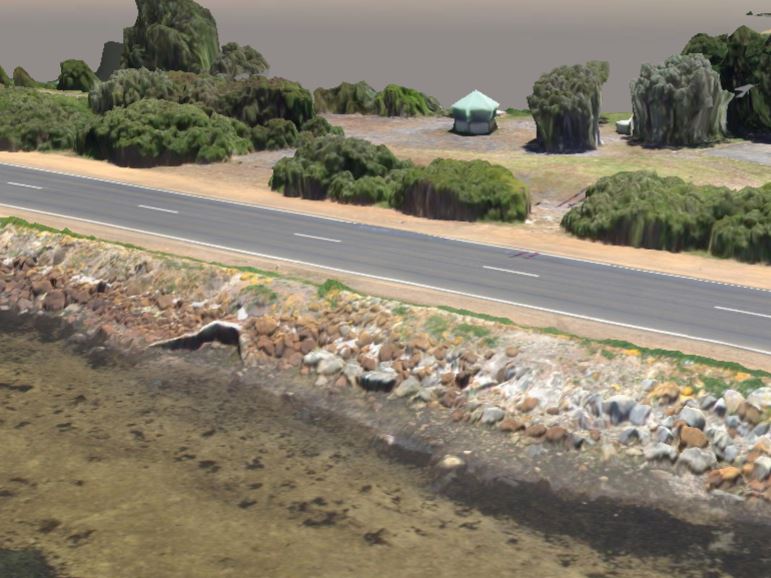
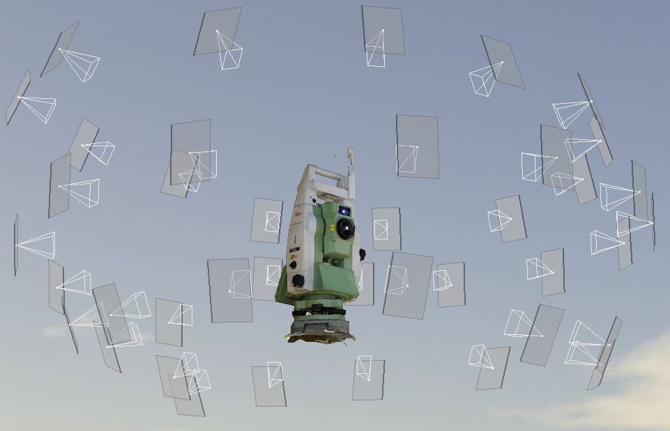
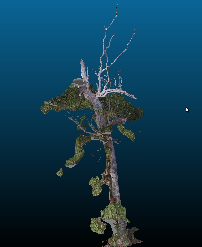
Conventional Aerial photography is very useful, but why not take it to another level and view the data in 3D as a photo realistic reality model?
Inspect a project or location as if you were onsite, make measurements and use it as a base model for planning and design or have our team create the finished product in virtual reality for concepts or review.
Accessing the data is now simpler than ever before! View your 3D data online on any device from anywhere in the world or share it with clients or investors instantly! Or use the Free Viewer in your office or a 3D GIS plugin. Interact with the online samples in the gallery below or click on any of the pictures to view the model full screen.
(click and drag to rotate, use the wheel to zoom, and double click to centre the view on a point of interest).
CLICK the picture to view the model. Download our Aerial Surveying Products Brochure HERE.